Over the past several months, the Food and Agriculture Organization of the United Nations (FAO) has led a series of regional training and data collection workshops using Collect Earth Online to support its 2025 Global Forest Resources Assessment (FRA) Remote Sensing Survey. Through these workshops, local experts have gained the skills to analyze forest land use and land use change and have contributed directly to global forest data.
In May 2025, 27 technical experts from across Australia used CEO to analyze high-resolution imagery from 2000 to 2024. The training focused on forest extent and land use transitions—essential insights for sustainable land management and national reporting. Read more about the Australia workshop here.
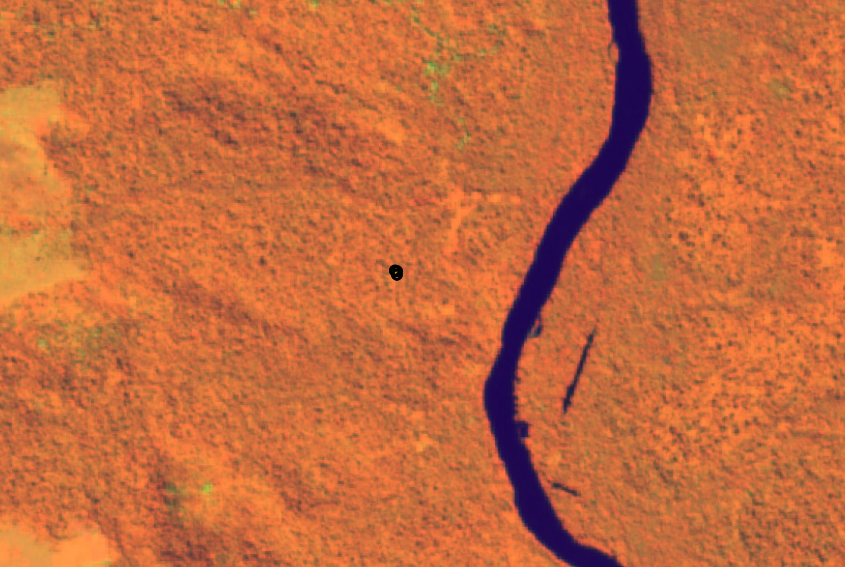
A week-long session in Lobito, Angola brought together 28 specialists to map forests, agroforestry zones, and burned areas using CEO in April. The hands-on experience was key—not just in learning the tool, but in contributing directly to the FRA dataset. Participants described CEO’s intuitive interface and flexibility as critical to linking local ecological knowledge with remote sensing workflows. Learn more about the workshop in Angola here.
Representatives from Colombia, Ecuador, and Venezuela came together for a cross-border training that blended remote sensing with regional knowledge in Colombia. CEO allowed them to explore land-use patterns in cocoa-growing landscapes, monitor forest conversion, and share methods across countries. Read more about the workshop in Colombia here and here.
Forestry experts from 16 countries came together to learn how to use Collect Earth Online to assess changes in land use and forest cover between 2000 and 2024 at a regional training workshop in Paris to support Europe’s contribution to FRA 2025. The training focused on improving data quality and consistency across Europe, particularly in areas like agroforestry, burned land, and trees outside forests. Read more about the workshop in Europe here.
FAO and Gabon’s Ministry of Water and Forests co-hosted a week-long training in Libreville. Using Collect Earth Online, national forestry and GIS experts analyzed satellite imagery to identify forest cover trends, land use dynamics, and degradation hotspots across Gabon. The training provided critical capacity to support Gabon’s national forest inventory system and helped harmonize national data with international reporting frameworks. Read more about the workshop in Gabon here (in French).
As the FRA 2025 Remote Sensing Survey process continues, we’re excited to support more trainings. These workshops remind us that tools are only as strong as the communities who use them—and we’re honored to be part of a global effort to empower those communities with the tools they need to protect their forests.
If you’re using CEO in your own forest monitoring work, we’d love to hear from you.
Collect Earth Online is working constantly to improve the user experience, and your feedback is invaluable. If you have ideas to share, please let us know.
Thank you!