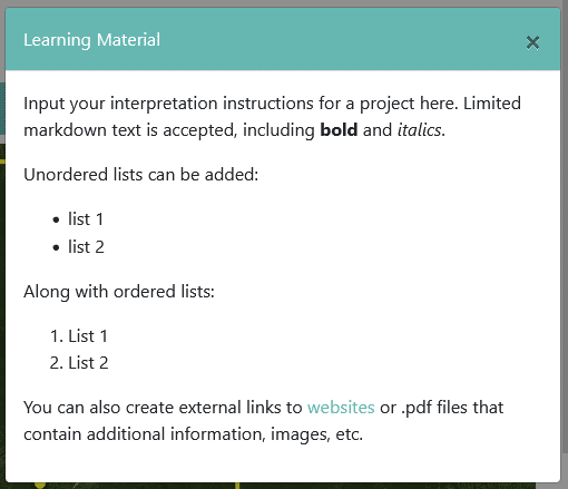
How-to: Adding interpretation learning material to your projects
A new Learning Material feature allows project administrators to provide users with quick tips for interpretation, more detailed instructions, and links to external websites and files.
Get the latest updates on newly released features, and learn how our customers are using Collect Earth Online to drive environmental goals.

A new Learning Material feature allows project administrators to provide users with quick tips for interpretation, more detailed instructions, and links to external websites and files.
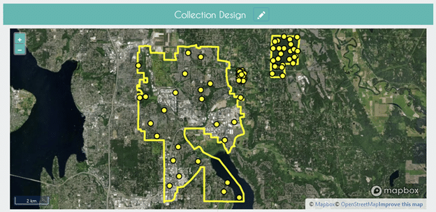
Collect Earth Online supports using your own polygon shapefiles to create random and gridded stratified sampling designs!
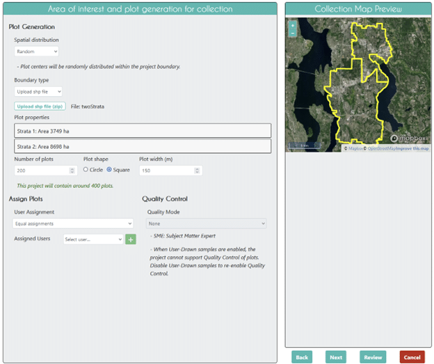
Collect Earth Online supports using polygons for delimiting Areas of Interest! Find out how to use your own shapefile as an AOI.
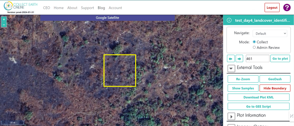
Sierra Leone created an interpretation key to guide data collection. The insights provided by Mondal Falgoonee Kumar can help others create their own interpretation keys.
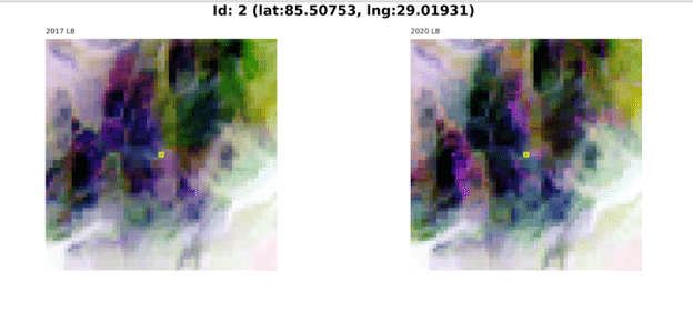
You can now use CEO and SEPAL to create offline imagery for your projects for use in low- and no- internet conditions.
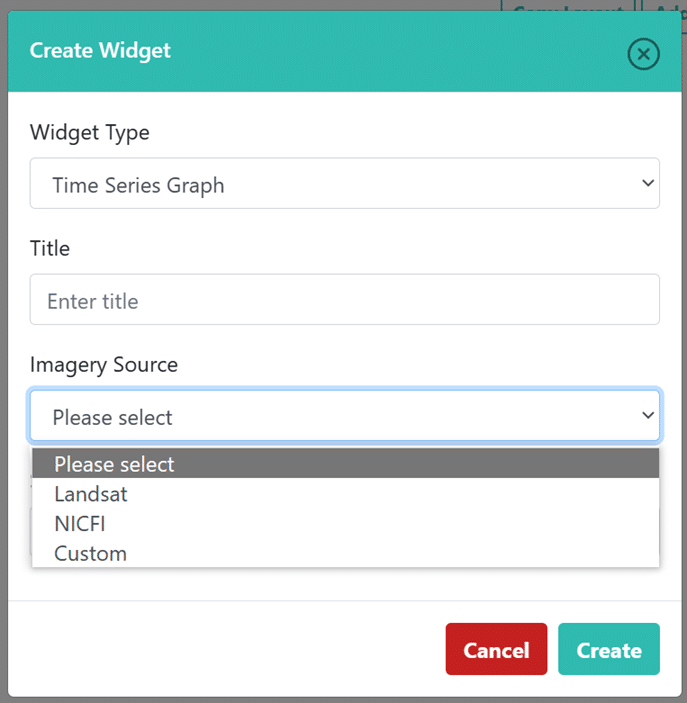
The CEO team has been hard at work solving bugs and adding new features, including updates to imagery and features in the Geo-Dash, a new rule type, and more.

Have you ever wanted to share your CEO data? CEO has now implemented Digital Object Identifiers. You can now share your data with the world.
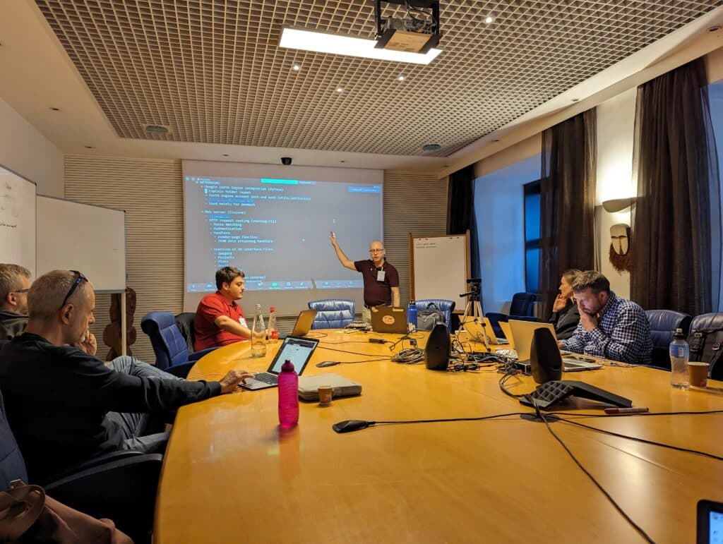
Developers from CEO and SEPAL are meeting to build closer relationships between the platforms. Users will benefit from improved processing flows.
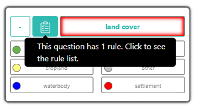
Did you know that Collect Earth Online (CEO) has many different survey rules to support your data collection efforts? It’s true!
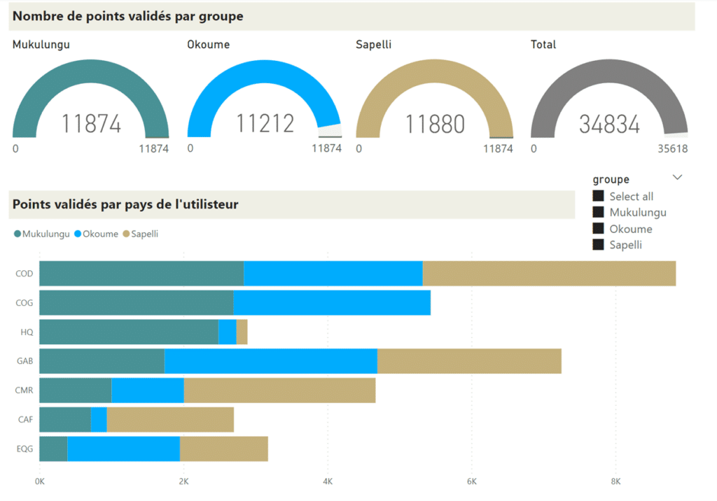
Aurélie Shapiro integrated CEO with Microsoft’s Power BI data visualization software, creating a dashboard to track CEO project completion.
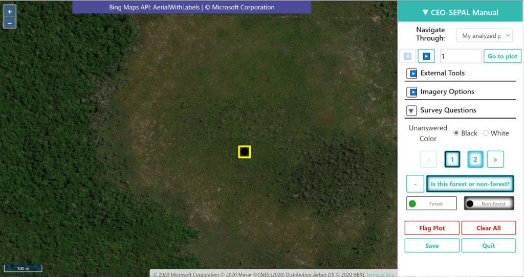
Collect Earth Online announces a new video introducing CEO to the world.
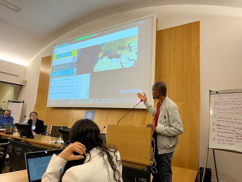
Multiple participants in a recent workshop on forest degradation described their use of Collect Earth Online.
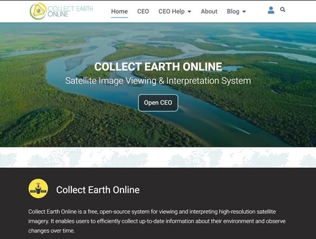
Today, we’re thrilled to announce a new homepage and video tutorials for Collect Earth Online.
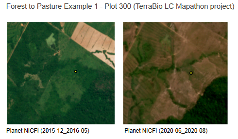
Interpretation keys create consensus, documentation, and institutional knowledge. Interpretation keys are used in order to successfully collect data in CEO.
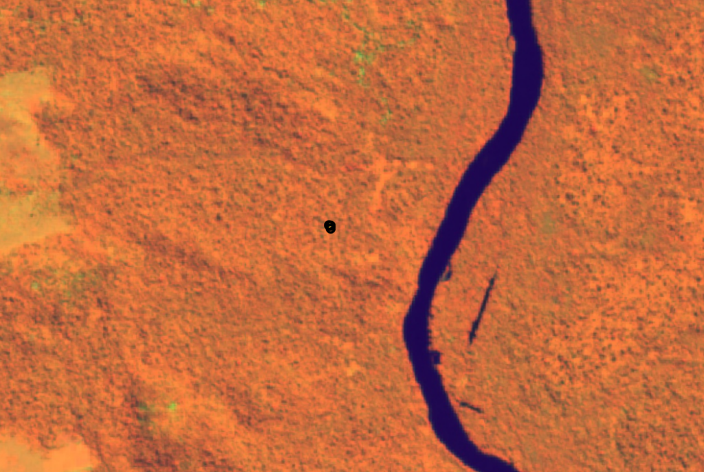
Institutional administrators should set up diverse imagery sources in order to support data collectors.
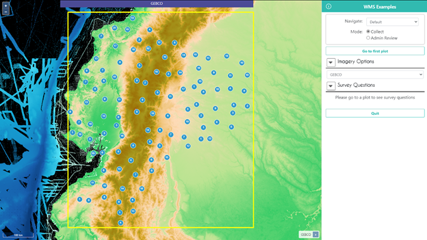
CEO proporciona formas fáciles de agregar sus propias imágenes a sus proyectos. En esta publicación de blog, nos centraremos en conectar las fuentes de datos WMS/WMTS al CEO.
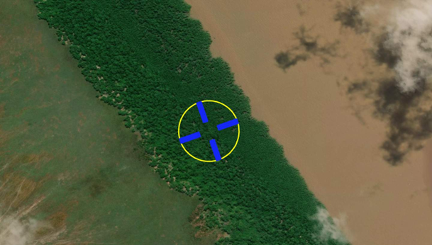
Collect Earth Online (CEO) was used by the Brazilian Forest Service (Serviço Florestal Brasileiro-SFB) and the Food and Agriculture Organization of the United Nations (FAO) in their hybrid workshop to support the Brazilian National Forest Inventory (IFN-BR) in its effort of forest classification.

O CEO fornece maneiras fáceis de adicionar suas próprias imagens aos seus projetos. Nesta postagem do blog, vamos nos concentrar em conectar fontes de dados WMS/WMTS ao CEO.
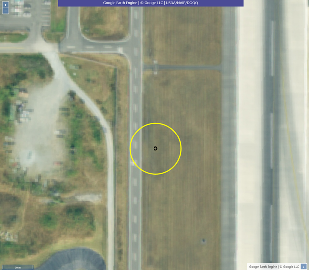
CEO provides easy ways to add your own imagery to your projects. In this blog post, we will focus on connecting GEE raster data sources to CEO.
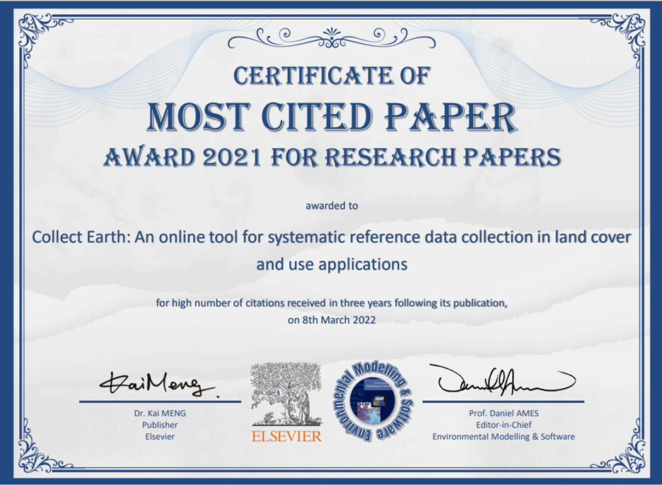
The Collect Earth Online (CEO) team is pleased to share that the manuscript Collect Earth: An online tool for systematic reference data collection in land cover and use applications has won multiple prestigious awards.

CEO provides easy ways to add your own imagery to your projects. In this blog post, we will focus on connecting WMS/WMTS data sources to CEO.
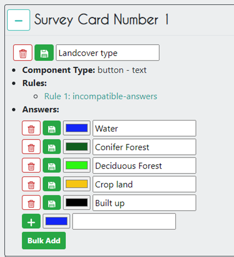
The Collect Earth Online (CEO) team is excited to announce the launch of new and improved survey question features that we’ve added to the platform.
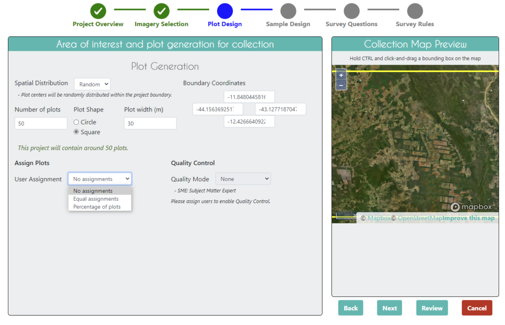
The Collect Earth Online (CEO) team announces several new features including automated quality control tools, improvements to plot navigation, and more.
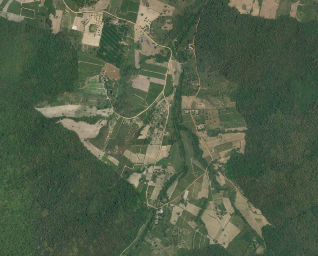
Collect Earth Online (CEO) is helping the Food and Agriculture Organization of the United Nations (FAO) uncover the causes of deforestation around the world.
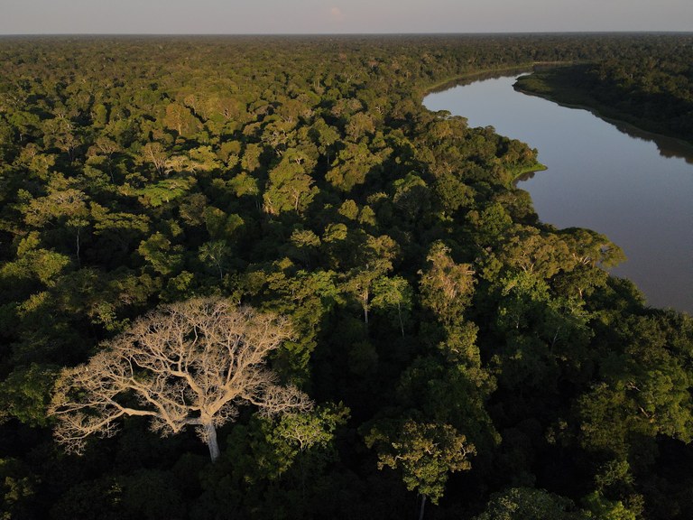
Collect Earth Online (CEO) was recently used in order to improve and test the accuracy of TerraBio’s mapping capabilities in a series of mapathon events.
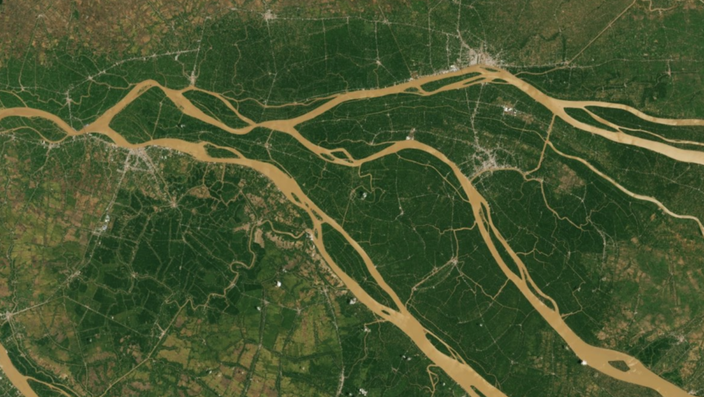
A new USAID-funded study used Collect Earth Online (CEO) to estimate area devoted to specific crops and forest loss.
The Global Forest Observation Initiative (GFOI), together with its lead partner the World Bank, launched the knowledge platform OpenMRV (openmrv.org).
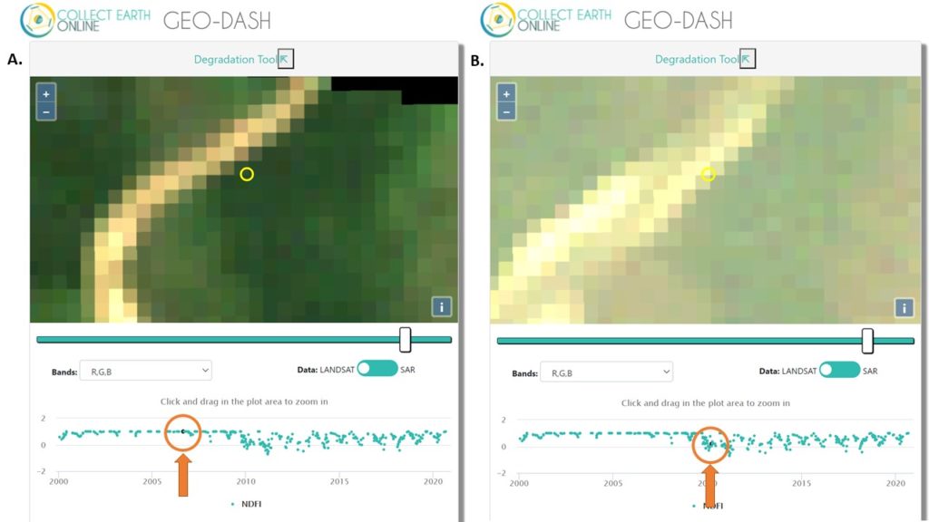
Users of Collect Earth Online (CEO) are taking advantage of a CEO feature called the Geo-Dash Degradation Tool that allows them to monitor forest degradation.
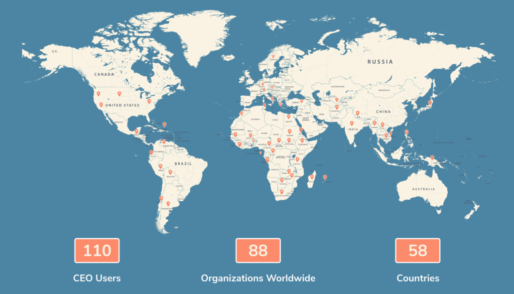
Collect Earth Online (CEO) issued a survey in March 2021. Input was collected from more than 110 CEO users working for NGOs and government agencies in 58 countries.

Collect Earth Online is excited to share our Spring 2021 updates, which include additional quality control tools, new imagery sources, and a broad range of backend improvements.

The Collect Earth Online announces updates to make it even easier for you to monitor changes in land use and land cover.

Collect Earth Online is a cloud-based tool, leveraging community science to track, map, and detect land use changes.