Dynamic World now available in Collect Earth Online
Collect Earth Online can now easily connect to the Dynamic World dataset as basemap imagery and as a Geo-Dash widget.
Collect Earth Online can now easily connect to the Dynamic World dataset as basemap imagery and as a Geo-Dash widget.
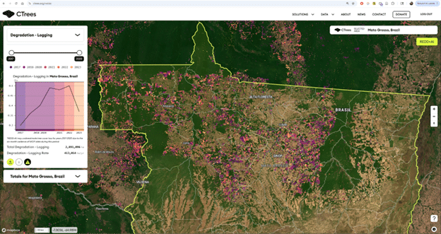
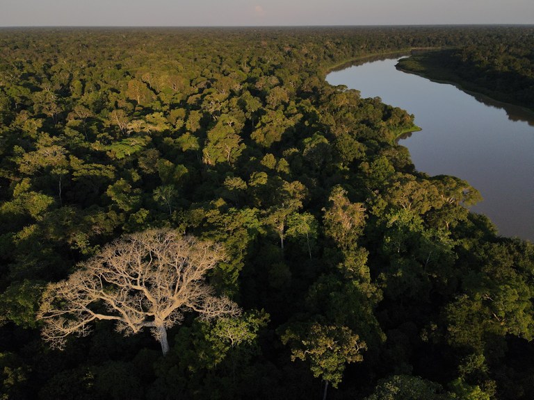
For the team at CTrees, Collect Earth Online (CEO) has become an essential tool for creating deforestation and forest degradation maps.
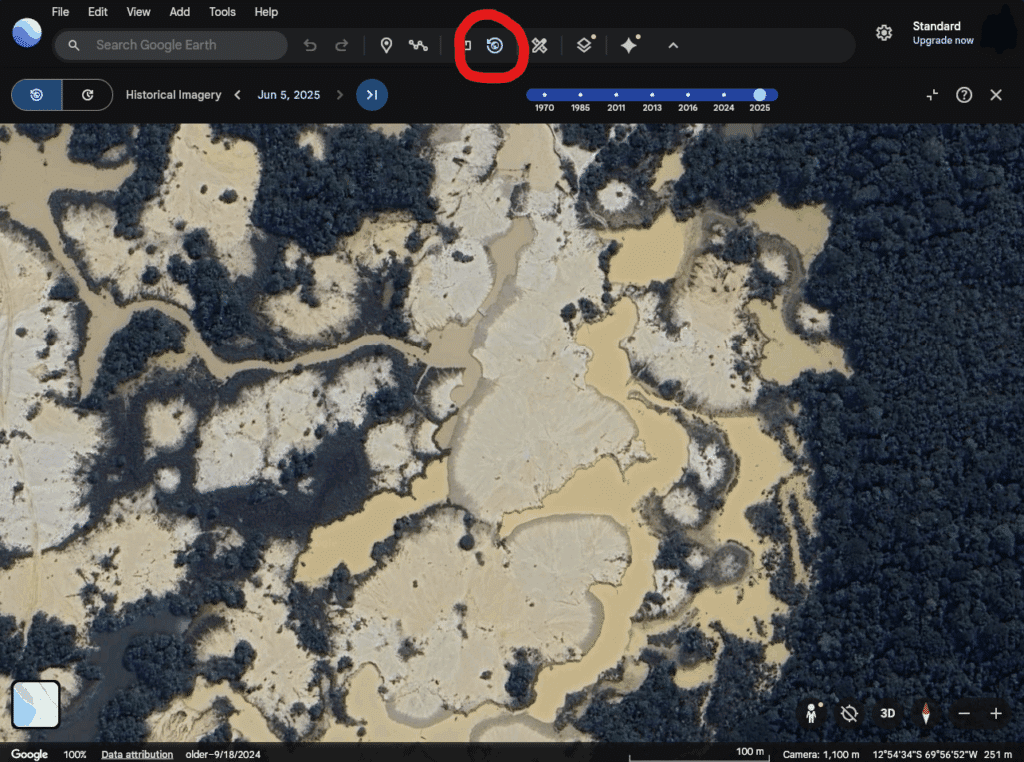
Collect Earth Online is now connected to Google Earth Web, where you can view high resolution and historical imagery for your plot area.
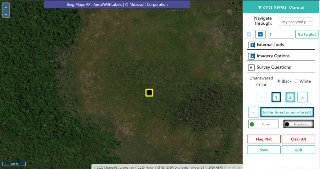
Collect Earth Online (CEO) was used by the Brazilian Forest Service (Serviço Florestal Brasileiro-SFB) and the Food and Agriculture Organization of the United Nations (FAO) in their hybrid workshop to support the Brazilian National Forest Inventory (IFN-BR) in its effort of forest classification.
Collect Earth Online (CEO) was recently used in order to improve and test the accuracy of TerraBio’s mapping capabilities in a series of mapathon events.
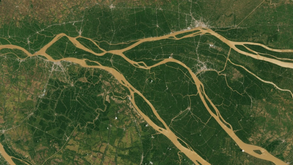
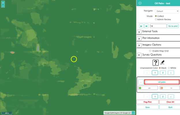
A new USAID-funded study used Collect Earth Online (CEO) to estimate area devoted to specific crops and forest loss.
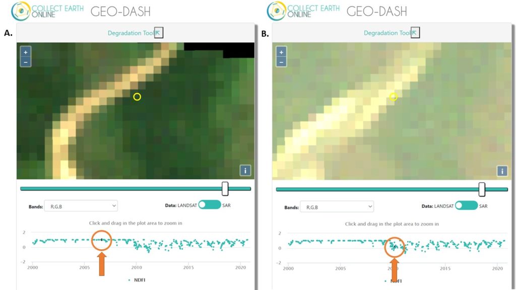
Users of Collect Earth Online (CEO) are taking advantage of a CEO feature called the Geo-Dash Degradation Tool that allows them to monitor forest degradation.
Collect Earth Online is a cloud-based tool, leveraging community science to track, map, and detect land use changes.