

Interpreting land cover, land use, and landscape change often depends on more than a single image. Data collectors may review multiple imagery sources while assessing a plot, comparing sources to make the most accurate interpretation possible.
Now, admins can see exactly which imagery a data collector used during plot interpretation.

With this new feature, all imagery viewed by a data collector while interpreting a plot is captured and included in the plot data download. There is no separate workflow or additional setup required. Simply download the plot data as usual, and the imagery-use information will be available as part of the exported data.
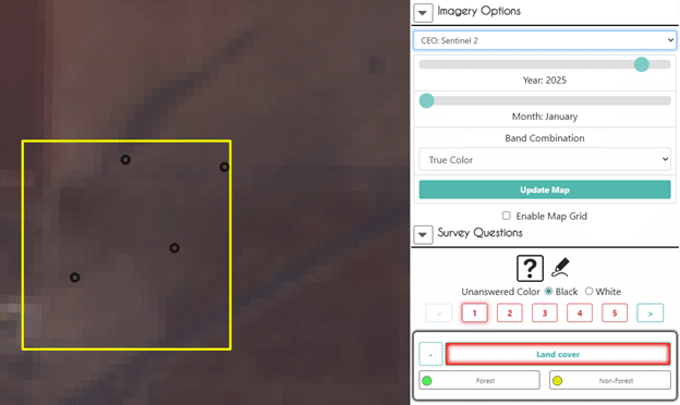
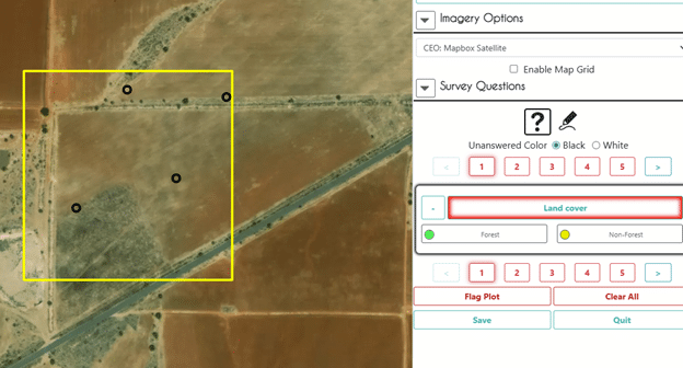
This added visibility is especially useful for project managers and administrators who want to confirm that collectors are using the imagery sources required for a specific project or methodology. For example, if a project depends on interpretation from a particular imagery layer or provider, admins can now verify whether that imagery was actually consulted during the interpretation process.
By making imagery use more transparent, this feature strengthens quality assurance and supports more consistent data collection. It gives administrators another way to review interpretation practices, identify potential gaps, and provide targeted feedback to data collectors when needed.