CEO Collect Earth Online

Geo-Dash Help

Collect Earth Online

Geo-Dash Help Center

To format widgets

  1. Titles cannot contain special characters.
  2. Image parameters use JSON. Quotes used for image parameters in widgets should be vertical (” not “”). There should be no spaces in the image parameters.
  3. Lists can be formatted either as “1,2,3” or as [1,2,3] for numbers and “B3,B2,B1” or [“B3″,”B2″,”B1”] for bands.
  4. When displaying three bands (e.g. B3, B2, B1 in RGB), GEE can use either one or three values for min and max.
  5. For the Date Ranges, if the end date is longer than the period of record, only the available data will be displayed.

To move and resize widgets

  1. Drag and drop the widget by clicking and dragging anywhere in the widget.
  2. Resize by dragging and dropping the bottom edge, right edge, or bottom right corner.
  3. Widgets will auto-align, and are updated in real time.

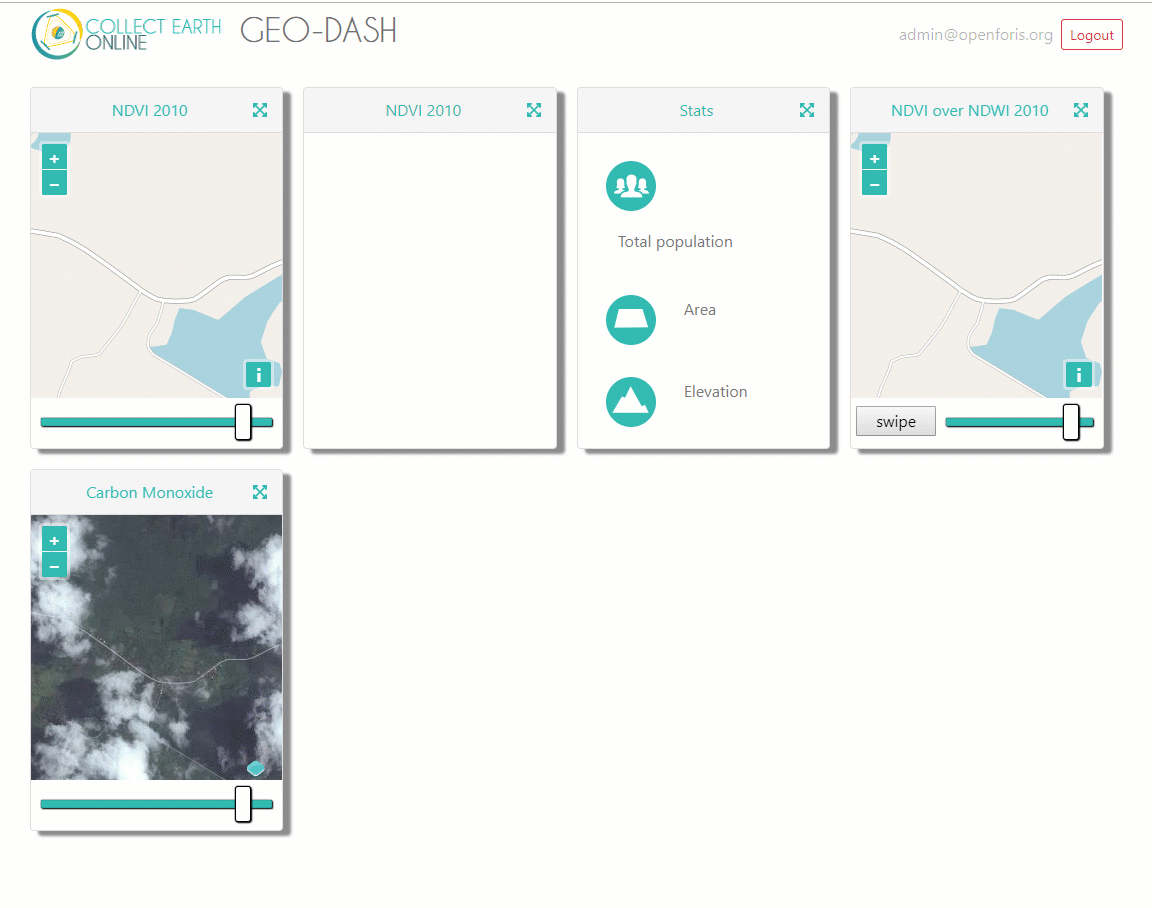
To duplicate, edit, and delete widgets

  1. Copy a widget once it has been created by clicking on the duplicate icon in the upper right-hand corner of the widget.
  2. Edit widgets by clicking on the pencil icon in the upper right-hand corner.
  3. To delete a widget, click on the trashcan in the upper right-hand corner.

To add a Degradation Widget

  1. Click “Add Widget”.
  2. Select “Degradation Tool” in the Widget Type drop-down.
  3. Give the widget a title.
  4. Choose the desired Basemap source from the drop-down.
  5. Select the Band you want to graph.
  6. Select the Date Range.
  7. Click “Create”.

To add a Dual Imagery Widget

  1. Click “Add Widget”.
  2. Select “Dual Imagery” in the Widget Type drop-down.
  3. Give the widget a title.
  4. Choose the desired Basemap source from the drop-down.
  5. Select the Imagery Type for each Imagery. You can toggle between them by clicking the “Next Image” and “Previous Image” buttons.
  6. Fill out the remaining inputs for each Imagery. This will be different depending on which Imagery Types you select. For more information on how to fill out the inputs for each Imagery Type, please refer to the appropriate section elsewhere on the Geo-Dash Help Page.
  7. Select the Date Range.
  8. Click “Create”.

To add an Institutional Imagery Widget

  1. Click “Add Widget”.
  2. Select “Institutional Imagery” in the Widget Type drop-down.
  3. Give the widget a title.
  4. Select a Basemap. You can choose any of your institutional imagery from the dropdown menu.
  5. Click “Create”.

To add an Image Asset Widget

  1. Click “Add Widget”.
  2. Select “Image Asset” in the Widget Type drop-down.
  3. Give widget a title.
  4. Choose the desired Basemap source from the drop-down.
  5. Enter the GEE Image Asset ID (e.g. COPERNICUS/S2/20170420T184921_20170420T190203_T10SEG)
  6. Select a Band from the list of Available Bands.
  7. Enter the Image Parameters (in JSON format) for the asset.
  8. Click “Create”.

To add an ImageCollection Asset Widget

  1. Click “Add Widget”.
  2. Select “Image Collection Asset” in the Widget Type drop-down.
  3. Give the widget a title.
  4. Choose the desired Basemap source from the drop-down.
  5. Enter the GEE ImageCollection Asset ID (e.g. LANDSAT/LC8_L1T_TOA)
  6. Select a Band from the list of Available Bands.
  7. Select a Collection Reducer. For more information, see here.
  8. Enter the Image Parameters (in JSON format) for the asset.
  9. Select the Date Range.
  10. Click “Create”.

To add a Polygon Compare Widget

  1. Click “Add Widget”.
  2. Select “Polygon Compare” in the Widget Type drop-down.
  3. Give the widget a title.
  4. Choose a Basemap source from the dropdown.
  5. Enter the GEE Feature Collection Asset ID.
  6. Enter the field that matches the PLOTID for the project.
  7. Enter Image Parameters in JSON format to change the color of the polygon displayed.
  8. Click “Create”.

To add a Preloaded Image Collection Widget

  1. Click “Add Widget”.
  2. Select “Preloaded Image Collections” in the Widget Type dropdown.
  3. Give the widget a title.
  4. Choose the desired Basemap source from the drop-down.
  5. Select the Data Type. Note that for certain Data Types, you may have additional fields to fill in.
  6. Select the Date Range.
  7. Click “Create”.

To add a Statistics Widget

  1. Click “Add Widget”.
  2. Select “Statistics” in the type drop down.
  3. Give widget a title.
  4. Click “Create”.

To add a Time Series Graph Widget

  1. Click “Add Widget”.
  2. Select “Time Series Graph” in the Widget Type drop-down.
  3. Give the widget a title.
  4. Select the Imagery Source. Note that if you select “Custom”, any ImageCollection from Google Earth Engine can be added. You simply need to know the ImageCollection Asset ID, the band you would like graphed, how you would like the graph reduced, and the spatial scale.
  5. Select the Date Range.
  6. Click “Create”.

Create GEE Image assets

Create GEE ImageCollection assets