TerraBio is a pioneering conceptual and methodological framework for monitoring and evaluating the impacts of land-based business activities on ecosystems and biodiversity.
The framework provides environmental accountability to private-sector corporations that rely on the supply of agricultural or extractive products from the Amazon Basin, or that invest in sustainable business models as profitable and conservation-driven development initiatives.
The framework combines state-of-the-art remote sensing approaches with innovative biodiversity monitoring technologies. In order to improve and test the accuracy of TerraBio’s mapping capabilities, a series of “mapathon” events were organized between August 27 and September 20, 2021.
The events used Collect Earth Online as a working platform for model calibration and validation. Through the advancement of a customized interpretation key, the mapathon team developed a common understanding for the classification of land cover and land use.
The mapathon was performed by a team of seven interpreters: John Tello, Sylvia Castaño, and Ovidio Rivera of SERVIR Amazonia (supported by USAID’s Regional Program in South America), Beatriz Rodriguez of the Alliance of Bioversity International/CIAT, Nathanael Campos of Imaflora, and Andrea Nicolau and Iara Estes of Spatial Information Group (SIG). The mapathon consisted of a short training session and two validation rounds, in which more than 1,300 ground points/plots were analyzed.
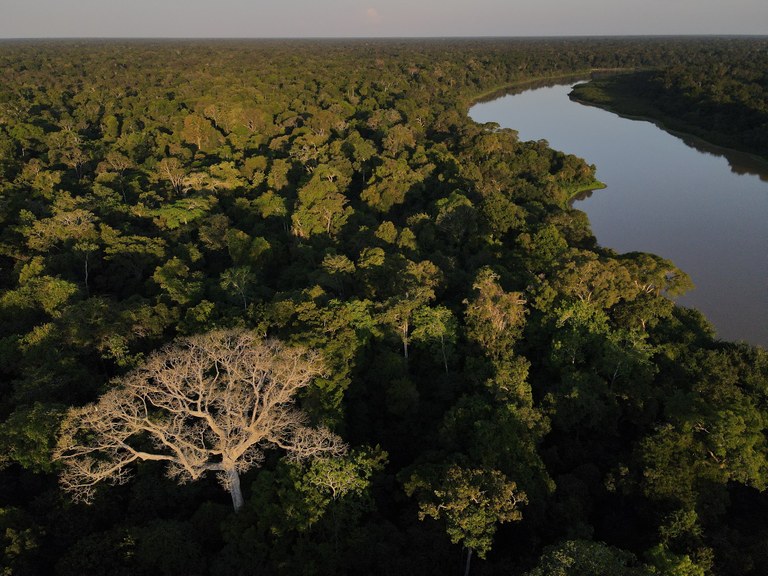
During the first round, the points were visually inspected and classified based on the vegetation detected in high-resolution imagery of the Xingu River Basin in the state of Pará. During the second round, time-series charts and images from the imagery archives were assessed to determine the state of vegetative succession (i.e., degraded, regenerated, intact) across the time interval of interest.
The mapathon made use of various vegetation indexes to aid in the interpretation process. Images from various satellite sources during different years were also reviewed for each individual ground point.
The successful completion of TerraBio’s algorithm customization and mapathon events have enabled the framework to accurately map distinct land use/land cover systems, as well as tree cover conditions difficult to identify, in the Xingu Basin.