This historic initiative aims to provide long-term, performance-based financing for the protection and restoration of tropical and subtropical rainforests. To ensure accountability, the TFFF relies on robust, transparent, and verifiable forest data — a standard that Collect Earth Online (CEO) is uniquely equipped to help support.
🌄 The Tropical Forest Forever Facility
The TFFF is a permanent global facility to finance the long-term conservation and restoration of tropical and subtropical moist broadleaf rainforests. It provides annual performance-based “Forest Payments” to countries that managed to reduce their deforestation below 0.5% and accordingly maintain or increase their eligible forest cover. It complements mechanisms like REDD+ by rewarding standing forest area (stocks) rather than only reductions in greenhouse gas emissions (flows).
Payments are based on verified data from satellite-based monitoring systems that measure native forest cover, apply discounts for loss and degradation, and meet specific transparency and technical standards.
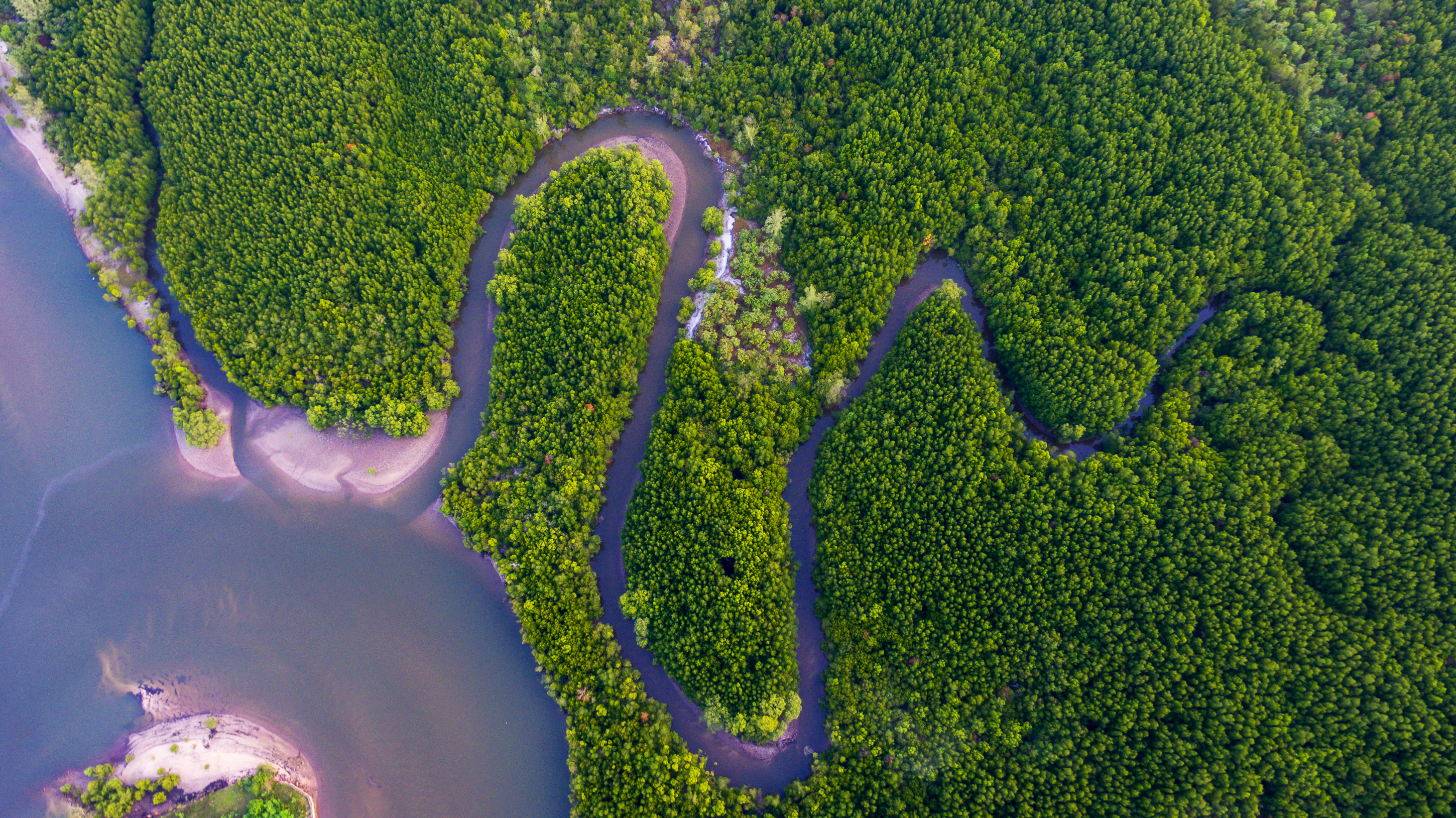
Forests in Thailand.
📋 Data Requirements for the TFFF
To qualify for TFFF participation, each Tropical Forest Country (TFC) must demonstrate that its monitoring system meets key technical criteria:
Satellite Reliance: The system must rely on satellite-based monitoring to ensure forest cover is accurately reported and verifiable. The underlying satellite data must be optical imagery with a spatial resolution of at least 30m and have a minimum of four bands.
Transparency: Monitoring products must be open, free, and formatted accessibly.
Reporting Frequency and Precision: Forest cover reporting must use a minimum temporal frequency of at least 1 year and a minimum mapping unit of 1 hectare (ha).
Before a country can join, their system is reviewed by a third-party assessor to verify that it meets the TFFF’s technical specifications.
🐢 How CEO can Support TFFF Participation
CEO helps to support both data and monitoring requirements for TFFF participation. As part of a complete National Forest Monitoring System, CEO helps to ensure TFCs can meet the technical challenge set by the TFFF Monitoring System.
1. Meeting the Satellite Mandate
CEO supports TFCs in fulfilling the monitoring system requirement by providing and facilitating access to satellite-based data that adheres to specific technical standards.
Open Access to Global Imagery: CEO provides access to imagery from sources including MapBox and Google Earth Engine (GEE).
National Flexibility: TFCs can connect their own data and imagery through Web Map Service (WMS), Web Map Tile Service (WMTS), Azure Maps, XYZ tiles, GEE, and other services.
Leveraging GEE Power: Through GEE, users can analyze time-series data from Landsat and Sentinel missions, meeting the TFFF’s spatial and spectral requirements.
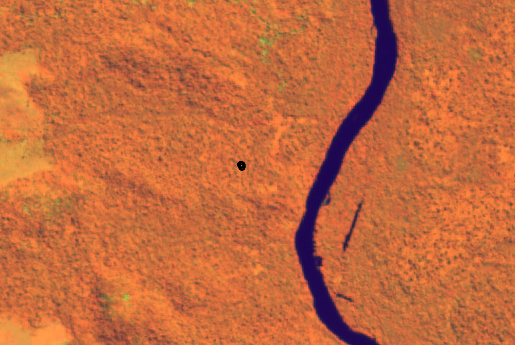
Sentinel 2 imagery using the Healthy Vegetation band combination in the Data Collection interface.
2. Fostering Transparency and Accessibility
CEO helps countries meet data transparency and accessibility standards.
Free and Open-Source: CEO operates under the MIT license through FAO’s Open Foris initiative, ensuring transparency and public trust.
Zero Barrier to Entry: The full functionality is implemented online; no desktop installation is necessary. This removes historical barriers related to proprietary software and specialized hardware, making high-quality monitoring accessible to all TFCs.
Global Collaboration: Because it is cloud-based, multiple users (including national experts and community scientists) can collect data simultaneously, removing the need for manually merging data.
3. Ensuring Scientific Accuracy and Validation
CEO helps TFCs meet measurement and reporting quality goals.
Robust Sampling Design: CEO supports random, systematic, or custom sampling designs (.csv or .shp imports) for monitoring and verification.
Local Expertise: CEO enables cost-effective validation by empowering local interpreters to review satellite imagery, reducing the need for field verification.
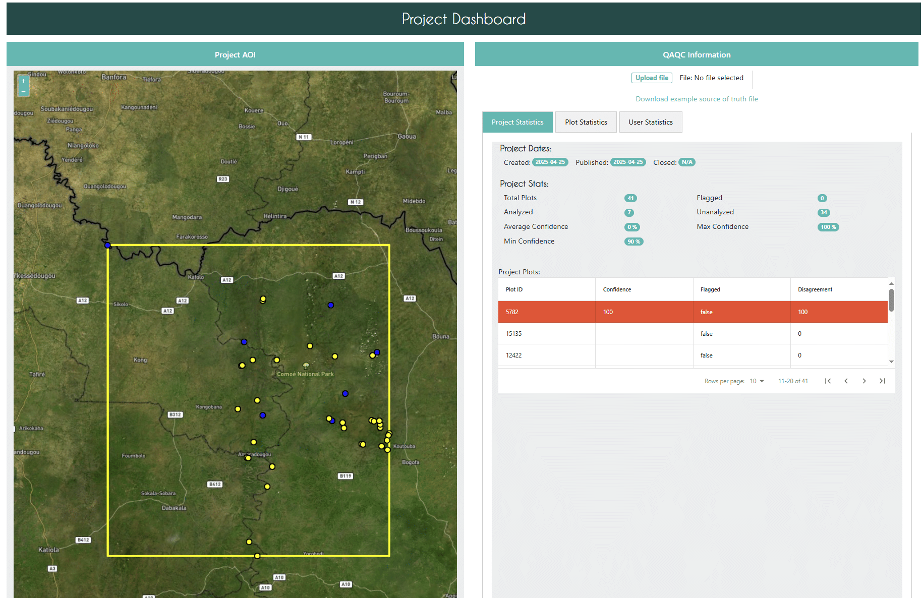
Overview of the QAQC project statistics landing page which will open in a new tab or browser window after clicking on the link from your project.
4. Monitoring Degradation and Deforestation
A key challenge for the TFFF is monitoring forest degradation alongside outright deforestation.
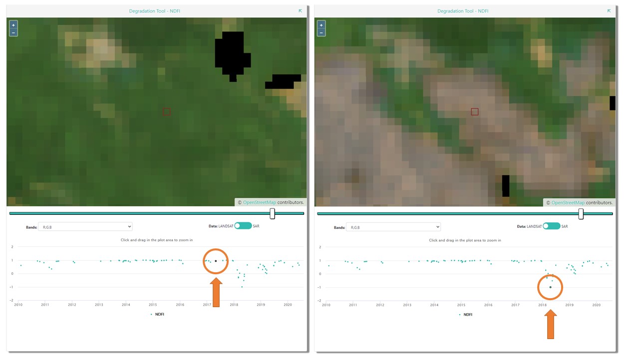
The Degradation Widget: CEO is used by organizations worldwide to detect deforestation and forest degradation. CEO’s Geo-Dash combines time-series graphs and imagery to identify deforestation and degradation events.
Time-Series Analysis: Users can track vegetation health with indices such as NDFI and NDVI, helping pinpoint fire damage or logging.
An example of forest degradation due to shifting cultivation in LAO PDR detected by the CEO Degradation Tool. The degradation event occurred in early 2018, as indicated by a sharp decrease in NDFI, after which NDFI rose to previous levels.
🏆 Enabling Countries to Access Long-Term Forest Finance
Collect Earth Online provides a critical component of the technical foundation that countries need to participate in the TFFF. Many Tropical Forest Countries already use CEO to generate sample-based area estimates for REDD+ and MRV programs, or as part of their National Forest Monitoring Systems (NFMS). The same reliable, transparent approach can help them meet the TFFF’s rigorous standards and secure long-term, performance-based funding for forest conservation.
By combining open science, accessible technology, and verifiable data, CEO supports the TFFF’s mission to ensure the world’s tropical forests are protected—forever.