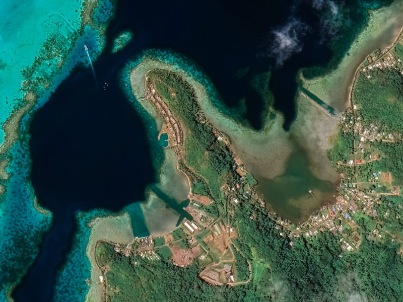
Dynamic World now available in Collect Earth Online
Collect Earth Online can now easily connect to the Dynamic World dataset as basemap imagery and as a Geo-Dash widget.
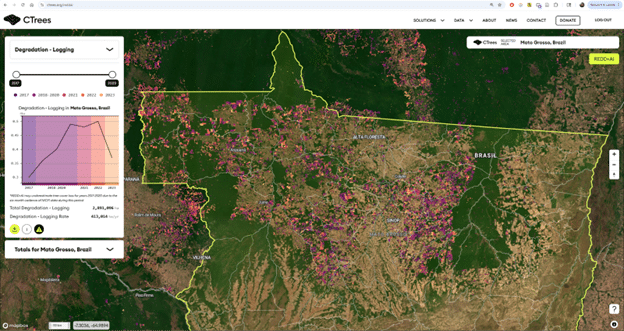
On the application of Collect Earth Online at CTrees Forest Monitoring pipeline
For the team at CTrees, Collect Earth Online (CEO) has become an essential tool for creating deforestation and forest degradation maps.
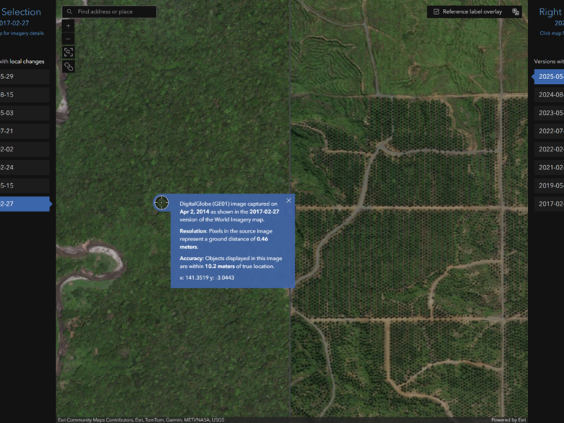
How-to: Connecting ESRI Wayback Imagery in CEO
Collect Earth Online supports a range of imagery sources, including ESRI Wayback Imagery, which provides historical basemaps.
Using AI Translation to Make CEO Accessible
Browser-based translation helps reduce these barriers by allowing users to view the CEO interface and online documentation in their preferred language.

Collect Earth Online in 2025: Platform Updates, Partnerships, and Impact
2025 was a year of meaningful progress for Collect Earth Online, shaped by platform updates, partnerships, and impact.
Copying Projects in Collect Earth Online: A Safer Path for Major Updates
Changing projects after data collection begins has risks if done in the same published project. Collect Earth Online now allows users to ...

Introducing More Flexibility for Ongoing Projects in CEO
Collect Earth Online now allows users to add new survey questions and plots to active projects.

EcoCiencia uses CEO for historic data collection effort
A new video from EcoCiencia in Ecuador showcases how Collect Earth Online supported one of the country’s most ambitious land-cover validation efforts ...

Papua New Guinea uses CEO to support TFFF eligibility
Papua New Guinea (PNG) is using Collect Earth Online to support their Tropical Forest Forever Facility (TFFF) eligibility.
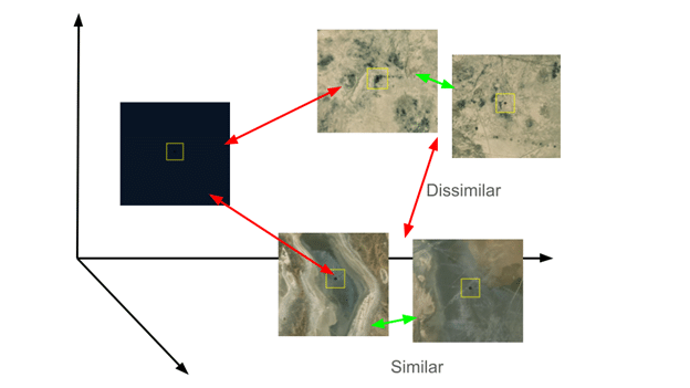
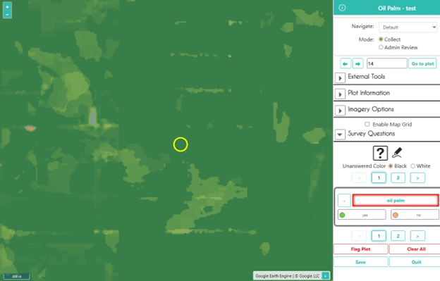
Plot Similarity Assistant: Bringing GeoAI Directly to CEO Users
New in Collect Earth Online: the Plot Similarity Assistant, a GeoAI-powered tool that helps data collectors move through similar plots more efficiently.