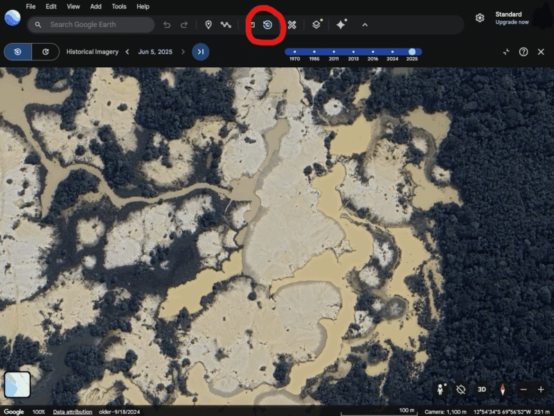
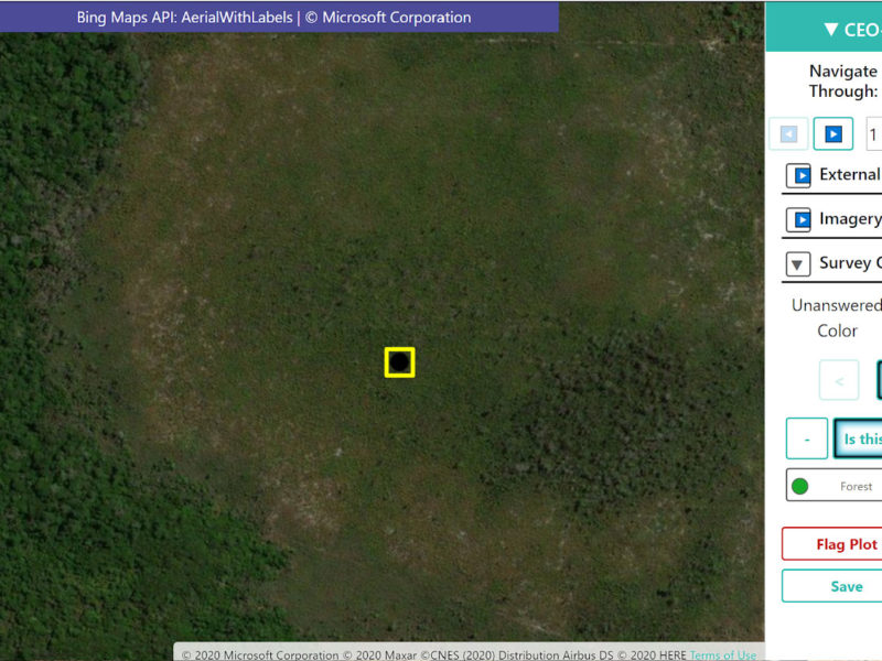
Collect Earth Online now offers seamless Google Earth Web integration
Collect Earth Online is now connected to Google Earth Web, where you can view high resolution and historical imagery for your plot ...
Improving Forest Classification of the Brazilian National Forest Inventory using the CEO Platform
Collect Earth Online (CEO) was used by the Brazilian Forest Service (Serviço Florestal Brasileiro-SFB) and the Food and Agriculture Organization of the ...
Collective mapathon confirms TerraBio’s remote sensing approach
Collect Earth Online (CEO) was recently used in order to improve and test the accuracy of TerraBio’s mapping capabilities in a series ...
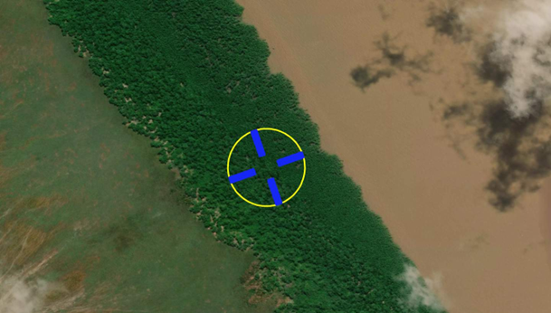
Using CEO to Estimate the Area of Crop Expansion into the Forests of Southeast Asia
A new USAID-funded study used Collect Earth Online (CEO) to estimate area devoted to specific crops and forest loss.
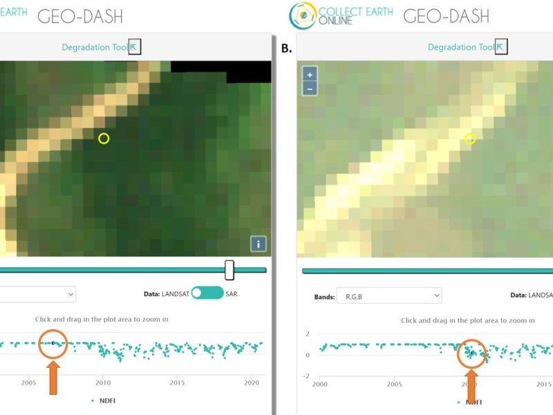
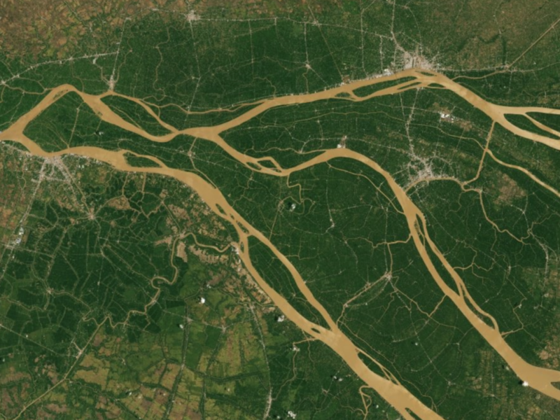
Detecting Forest Degradation with CEO’s Geo-Dash
Users of Collect Earth Online (CEO) are taking advantage of a CEO feature called the Geo-Dash Degradation Tool that allows them to ...
Meet Collect Earth Online
Collect Earth Online is a cloud-based tool, leveraging community science to track, map, and detect land use changes.