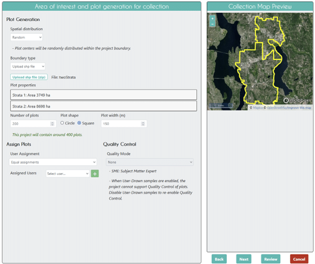
How-to: Create stratified sampling designs in CEO
Collect Earth Online supports using your own polygon shapefiles to create random and gridded stratified sampling designs!
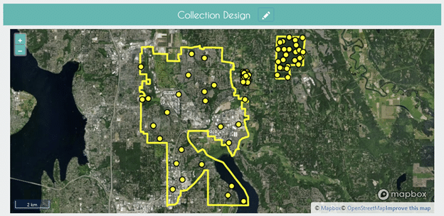
How-to: Use a polygon for your Area of Interest
Collect Earth Online supports using polygons for delimiting Areas of Interest! Find out how to use your own shapefile as an AOI.
Setting up multiple imagery sources in CEO
Institutional administrators should set up diverse imagery sources in order to support data collectors.
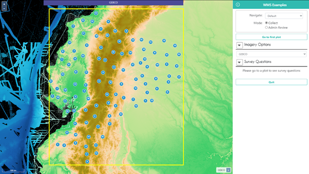
Using your own data in CEO: Connecting WMS/WMTS
CEO provides easy ways to add your own imagery to your projects. In this blog post, we will focus on connecting WMS/WMTS ...